

After visiting Bryce Canyon National Park, we headed to Capitol Reef National Park. Capitol Reef National Park is a photographers’ dream withe paved pathways that you can drive through different areas. This national park you can see in 1/2 day -1 day. It is located in Torrey, Utah. Keep in mind, there are no places to eat lunch at.
As we were heading there, we went through Lyman, Utah and be sure and watch your speed through the town! Just saying!
There is a Fruita Historic District which includes a schoolhouse, blacksmith shop, the Gifford store and museum. There are orchards that have apple, peach, cherry, pear, plum, apricot, and almond trees. You can pick and eat fruit in the orchards. If you would like to take any, there is a nominal fee.
There is a paved, 8-mile scenic drive of the Waterpocket Fold. Allow 2 hours for the roundtrip drive. Below are the hiking trails depending on your hiking speed.
Hiking Trails
Easy Trails
- Goosenecks-Length of trail .2 mile, elevation less then 50 feet. Has dramatic canyon views.
- Sunset Point-Length of trail .8 mile, elevation less than 50 feet. Has a panorama view and good for sunrise and sunset.
- Grand Wash-Length of trail 4.4 miles, elevation is 200 feet. Has a deep canyon and narrows passageways.
Moderate Trails
- Cohab Canyon-Length is 3.4 miles, elevation is 440 feet. Has hidden canyons, views of Fruita, panoramas at Spur Trail viewpoints.
- Fremont River-Length is 2.0 miles, elevation is 480 feet. Has amphitheater parking. An easy stroll along the river and then a steep climb to panoramas.
- Hickman Bridge-Length is 1.8 miles, elevation is 400 feet. Has an 133-foot natural bridge and canyon views.
Strenous Trails
- Cassidy Arch via Grand Wash-Length is 7.2 miles, elevation is 870 feet. Has a natural arch, slick rocks, and canyon views.
- Chimney Rock Loop-Length is 3.6 miles, elevation is 590 feet. Has panoramas of Waterpocket Fold cliffs, good for the sunset.
- Fremont Gorge Overlook-Length is 4.6 miles, elevation is 1,090 feet. Has a short climb to open mesa top, ends at high viewpoint on the rim of the gorge.
- Frying Pan-Length of 5.8 miles, elevation of 810 feet. The trails connects Cohab Canyon and Cassidy Arch trails, has ridgetop panoramas.
- Rim Overlook-Length of 2.3 miles, elevation of 1,110 feet. Panoramas of Fruita and Waterpocket Fold from a dramatic cliff.
- Navajo Knobs-Length of 4.7 miles, elevation of 1,620 feet. This is a continuation of the Rim Overlook Trail which is a 360-degree mountaintop panorama.
Our Favorites
While at Capitol Reef, we enjoyed:
- Capitol Reef Scenic Drive
- Capitol Gorge
- Grand Wash
- Panaroma Point
- Native American Petroglyphs
- Chimney Rock
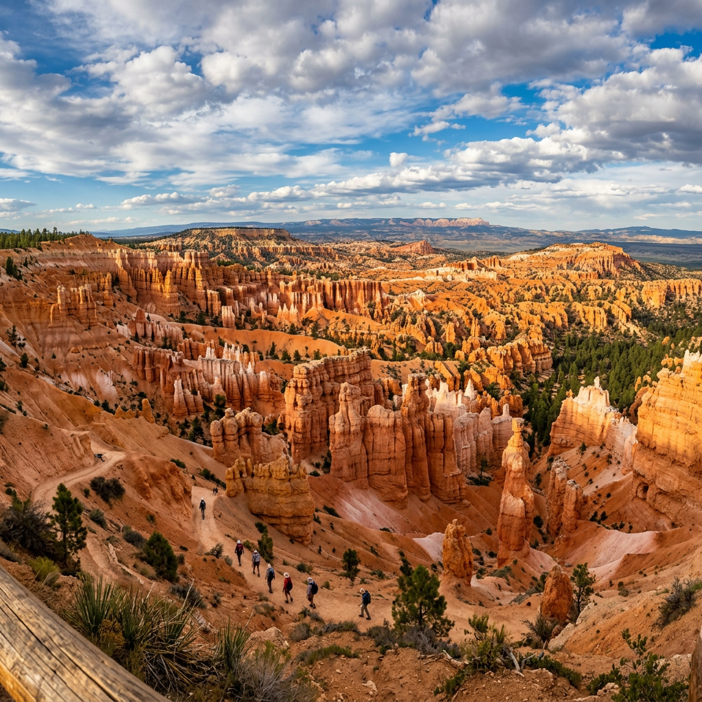
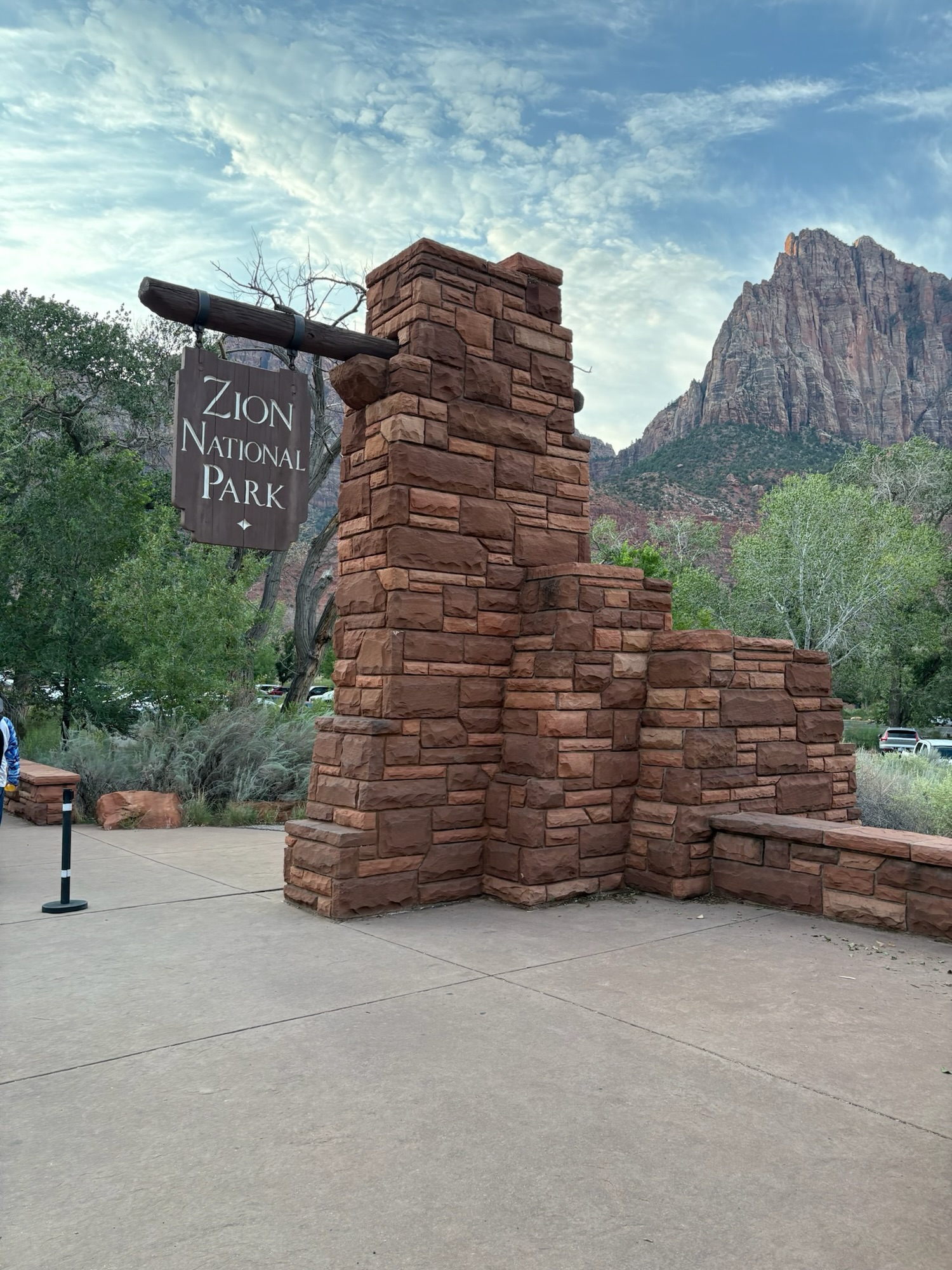
The park was established in 1971 and is located at 38.0877 degrees north and 111.1355 degrees west. Check out the pictures below:





Leave a Reply